Friday, November 16, 2012

Samantha Davies `Saveol' dismasted


At 1945hrs (French time), on Thursday, November 15th, Samantha Davies contacted the race office of the Vendée Globe to report that her boat had dismasted. Davies is not injured. She is safe inside the boat with all the watertight doors closed. She is monitoring the situation and does not require assistance. She is wearing her survival suit and has safety equipment at hand.
The only woman in the race, Davies is now out of it.  There is no returning - anyone receiving outside assistance is disqualified.
Savéol dismasted - Vendée Globe 2012-2013:

DAVIES 131112 107
Samantha Davies waits for the storm to abate before setting up a jury rig.

Tuesday, November 13, 2012

Monday, November 12, 2012

Vendee Globe - 3 days out - 2 boats down

Twenty started the Vendee Globe three days ago but already two boats are limping home.  The rules are very simple: if your boat meets the design specs and you have done the qualifying voyages you head out - single-handed - from Les Sables d'Olonne, France, round the great capes and return to port - without outside assistance.
Kito De Pavant and Marc Guillemot have both withdrawn.  Guillemot hit something and lost his canting keel. DePavant was napping when he collided with a trawler which had not activated its AIS (automatic identification system) which would have sounded an alarm giving DePavant warning to change course.

Day 3 highlights - Monday, November 12, 2012 by VendeeGlobeTV

Sunday, November 4, 2012

The storm surge at The Battery

Water level plot with predictions for The Battery, NY
from the NOAA Data Station
h/t Bowsprite
by Christina Sun

Down on the Bayou - and north to meet Sandy

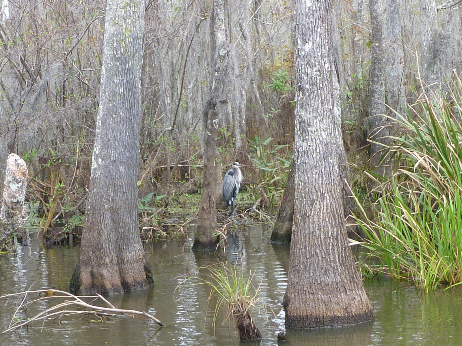
Blue heron- Honey Island swamp
click on images to enlarge and for slide show
Andrew Jackson and St. Louis Cathedral, NOLA

three sisters


Tennessee River bridges - Knoxville

Thursday, November 1, 2012

The 2011 Report That Predicted New York's Subway Flooding Disaster - Commute - The Atlantic Cities

The 2011 Report That Predicted New York's Subway Flooding Disaster - Commute - The Atlantic Cities: "Last fall, as part of a massive report on climate change in New York, a research team led by Klaus Jacob of Columbia University drafted a case study that estimated the effects of a 100-year storm on the city's transportation infrastructure. Considering MTA Chairman Joseph Lhota’s comments today that Hurricane Sandy's impact on the subway was "worse than the worst case scenario," it seems pretty safe to put Sandy in the 100-year category. In that case, assuming the rest of the report holds true, the subway system could be looking at a recovery time of several weeks, with residual effects lasting for months and years.

The researchers modeled a potential 100-year storm that consisted of either a category 1 or 2 hurricane hitting nearby, or a severe nor’easter that coincided with high tide. (As we know now, Sandy was a hybrid of all three events.) The models predicted complete flooding of several tunnels after such an event, including all the tunnels in the East River:"

'via Blog this'

Manhattan's flooded zone is landfill


Most of Sandy-flooded lower Manhattan is landfill. There is a lot more Manhattan than there used to be. The Battery was just that - and it was on two near-shore islands. The entire area west of the World Trade Center is recent fill - much of it from the No. 3 water tunnel still being excavated. 
Compare the Manhattan evacuation map to a 1776 map of the island before the filling started. Basically - if it is red it is fill.   The eastern line of Zone A along the Hudson River runs along Greenwich Street on the west, which was at the waterfront in 1776. The old slips on the East River extend inland to Queen Street, now Pearl Street, which is near where Zone A runs along the East River.
Click through HERE for an interactive Google map in the TPM post which is the source of this post.

Tuesday, October 30, 2012

City Island YC Dock wrecked - again

City Island Y.C. reports that for the second year in a row (last year it was Irene) our pier has been destroyed:
While CIYC indeed took a hit, we stand luckier than some of our neighbors. Swamped buildings, boats floating or blowing off their stands, boats and docks simply floating away, fires, and on - all within a mile of us. The volume and power of churning sea pushed into Eastchester Bay by relentless storm winds, and half-way up the sides of the Clubhouse, was astonishing and overwhelming in every sense of those words. Around the time of C.I. low tide Monday evening, 6:46 PM, King's Point reported water levels 12.50 feet above the predicted, LaGuardia Airport recorded gusts of 71 mph, and NOAA recorded wave heights of 6 to 9 feet in western Long Island Sound.
Joyce Mulcahy's blog City Island Sailing has shots of the damage.  The wrecked docks below are at our club City Island Y.C.
CIYC After Sandy (click to expand images and for slideshow)


CIYC Before Sandy

CIYC After Irene


After Sandy 
On the east side of the island - by the cemetery - just north of Barron's Boatyard

An Oyster in the Storm - NYTimes.com


by Paul Greenberg
"DOWN here at the end of Manhattan, on the border between evacuation zones B and C, I’m prepared, mostly. My bathtub is full of water, as is every container I own. My flashlights are battery-ed up, the pantry is crammed with canned goods and I even roasted a pork shoulder that I plan to gnaw on in the darkness if ConEd shuts down the power.

But as I confidently tick off all the things that Governor Andrew M. Cuomo recommends for my defense as Hurricane Sandy bears down on me, I find I’m desperately missing one thing.

I wish I had some oysters.

I’m not talking about oysters to eat — although a dozen would be nice to go with that leftover bottle of Champagne that I really should drink if the fridge goes off. I’m talking about the oysters that once protected New Yorkers from storm surges, a bivalve population that numbered in the trillions and that played a critical role in stabilizing the shoreline from Washington to Boston."
'via Blog this'