
 by Christina Sun


More Noses 2
-
Reading a blog about water traffic, you might be surprised to find a
fixation sometimes about noses, like the first in this series, then Marco’s
NEW nose, ...
14 hours ago
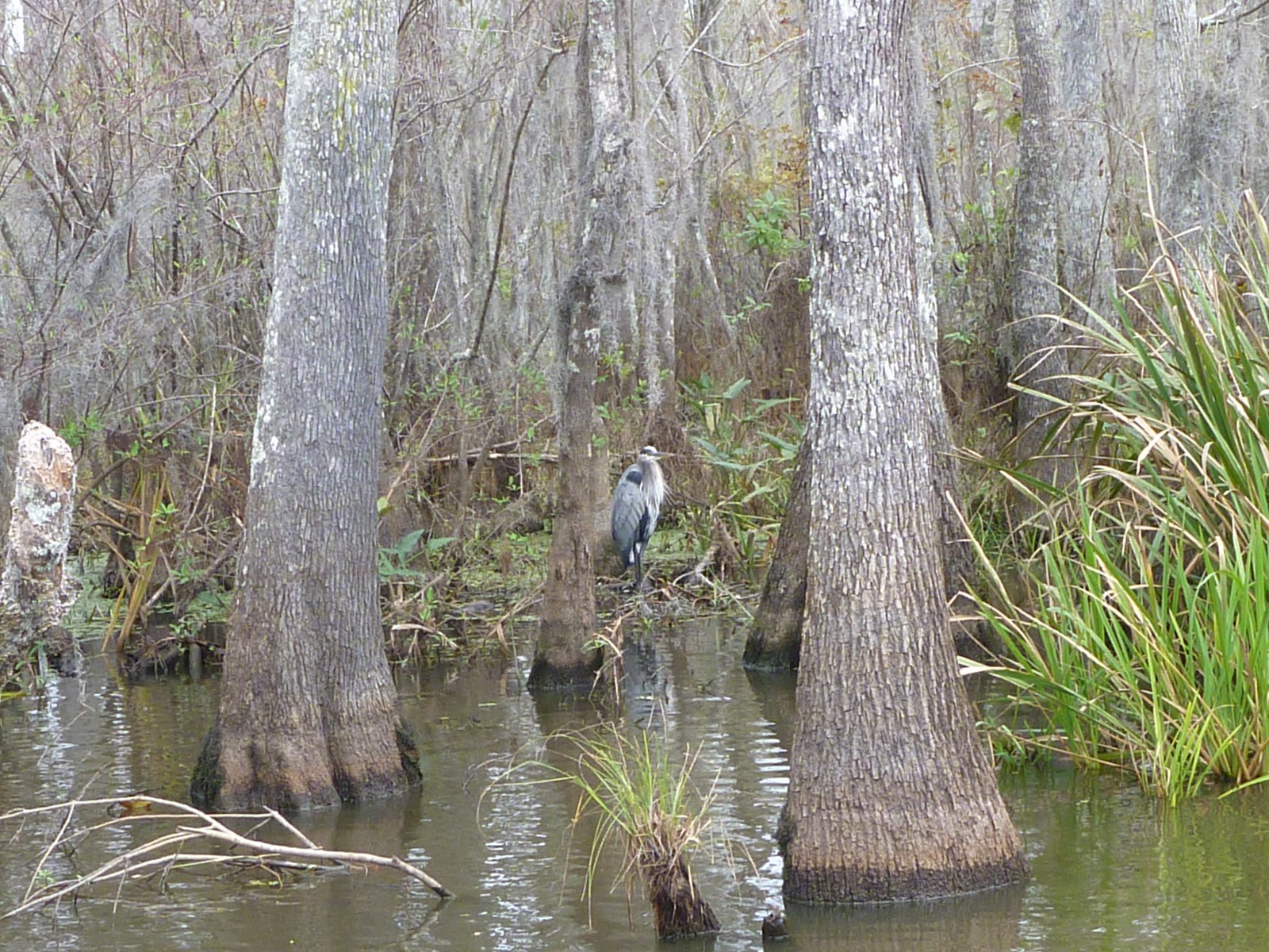 |
| Blue heron- Honey Island swamp |
 |
| Andrew Jackson and St. Louis Cathedral, NOLA |
 |
| three sisters |

 |
| Tennessee River bridges - Knoxville |
 The 2011 Report That Predicted New York's Subway Flooding Disaster - Commute - The Atlantic Cities: "Last fall, as part of a massive report on climate change in New York, a research team led by Klaus Jacob of Columbia University drafted a case study that estimated the effects of a 100-year storm on the city's transportation infrastructure. Considering MTA Chairman Joseph Lhota’s comments today that Hurricane Sandy's impact on the subway was "worse than the worst case scenario," it seems pretty safe to put Sandy in the 100-year category. In that case, assuming the rest of the report holds true, the subway system could be looking at a recovery time of several weeks, with residual effects lasting for months and years.
While CIYC indeed took a hit, we stand luckier than some of our neighbors. Swamped buildings, boats floating or blowing off their stands, boats and docks simply floating away, fires, and on - all within a mile of us. The volume and power of churning sea pushed into Eastchester Bay by relentless storm winds, and half-way up the sides of the Clubhouse, was astonishing and overwhelming in every sense of those words. Around the time of C.I. low tide Monday evening, 6:46 PM, King's Point reported water levels 12.50 feet above the predicted, LaGuardia Airport recorded gusts of 71 mph, and NOAA recorded wave heights of 6 to 9 feet in western Long Island Sound.Joyce Mulcahy's blog City Island Sailing has shots of the damage. The wrecked docks below are at our club City Island Y.C.


 Sven Irvind is at it again. After sailing across the Atlantic in a teacup of a boat, he now wants to go around the world, single-handed, non-stop (at least no docking). I don't think I could live on sardines and granola that long. Doesn't he need salad? And Mackerel for a treat? Oy vey.
 |
| Amtrak RR bridge at Spuyten Duyvil |
 |
| Henry Hudson bridge in background |
 |
| Spuyten DuyviL bridge |
 |
| crew practice |
 |
| Fordham Road bridge at 207 Street |


