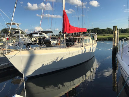
Thanks to Lisa Olson for passing on Lyman's updates on Felicity's voyages.
After anchoring, we climbed a nearby hill and got spectacular views. We went for a brief swim (the water is 55F). Later, another cruising boat, the first we’ve seen since leaving, came into the cove. Not too long after that, a whale joined us briefly. A seal is sunning itself on a rock 100 ft away.
In harbor
7/22/2023
Well it was quite a couple of days. Yesterday we had a beautiful sail. We followed our plan, which was to go to 55 d N, and the cut over. About 125 nm out we came across a set of 8 bergs where there should have maybe been one. We kept on hoping that it was anomalous. It was. By this time we were motor sailing. The number of bergs increased as we approached land. At times it was foggy and at times clear. About 40 nm out there was a berg every 4 nm. Lots of them split up. Early this morning, about 30 nm out we were fogged in and there was almost a wall of bergs on the radar in the direction we were headed (west). We pushed on at low speed relying on the radar. Then the fog lifted and we saw the path. At some point we just stopped counting. There were hundreds of bergs and bergie bits of all kinds of interesting shapes. We made our way to Edwards Harbor. The guide says the entry is 50 ft across. It is beautiful. We went ashore for more stunning views. We had to anchor four times
to get good holding even with double anchors. There is a lot of kelp on the bottom. Of course there were other difficulties. After we shut off the engine for the first time, we noticed more diesel on the engine than usual. The fuel input line to the injectors had sprung a leak. A failure of the line would have been a disaster, but we fixed it and seem to be in good shape. At the moment we are eating cheese and crackers, drinking beer/wine, and soaking in the location. Tomorrow we head to Cartwright.


